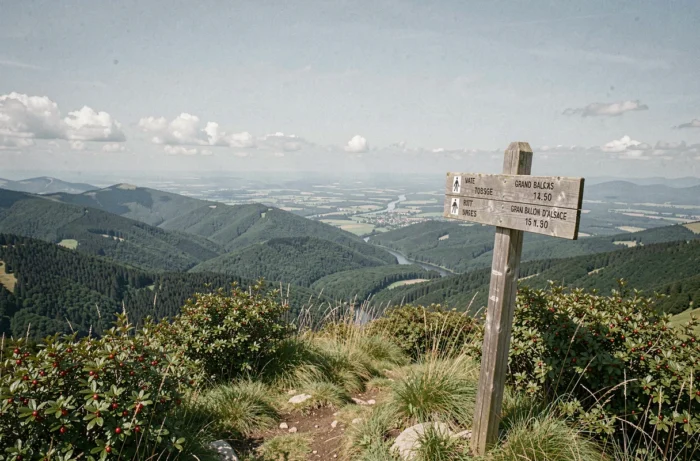
The Grand Ballon is the highest point in the Vosges Mountains. Before setting out on its trails, checking a live webcam lets you see how clear the summit is, whether any snow remains, and how thick the fog is along the ridges. This visual check, available on a screen, is no substitute for broader preparation, but it offers a useful first indication when deciding the best time to set off.
What a Grand Ballon webcam shows—and what it doesn’t
Cameras in the Markstein–Grand Ballon area generally show the bottom of the ski slopes, the view towards the Alps, or the Grenouillère area. How often the image refreshes depends on the equipment: sometimes every few minutes, sometimes after a longer delay.
This fixed view provides a reliable indication of three things: cloud cover at the time the image was captured, whether there is snow on the ground within the camera’s field of view, and the ambient light. However, the webcam only covers a small part of the terrain. Clear skies at the summit do not guarantee that there is no fog in the valleys below or on ridge trails outside the camera’s view.
Before setting off on a hike, checking the Grand Ballon d’Alsace webcam gives you a snapshot of conditions at the site, but it’s best to supplement this image with other sources to assess whether a hike is feasible.
Weather forecasts and road conditions: what else to check before hiking in the Vosges
A still image tells you nothing about wind speed, the risk of an approaching storm, or how fog may develop over the next few hours. The Vosges ridges are exposed to rapid changes in conditions, and fog can make it difficult to find your way on ridge trails.
Before setting off, it’s worth checking several things separately:
- Local weather forecasts, available from Météo-France or specialist mountain weather services, provide information on winds at altitude, cloud ceilings, and the risk of precipitation during the day.
- Road condition updates help you check access routes to the Grand Ballon, particularly the Route des Crêtes, which may be closed or icy in winter.
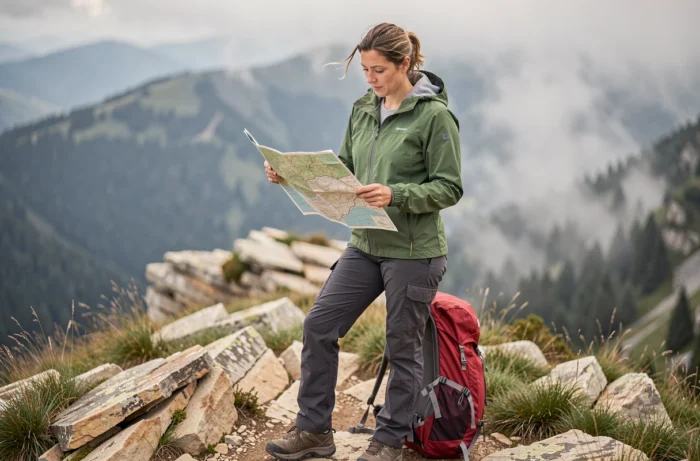
- A GPS track or offline map can serve as a backup if visibility deteriorates during your hike—a common occurrence at higher elevations in the mountains.
Checking a weather forecast alongside the webcam fills in the gaps the image can’t show: wind chill, expected gusts, and how conditions may change over the course of half a day.
Trail closures and hunting season: two things a camera can’t show
The webcam shows the summit’s visible conditions, not any access restrictions in force on the trails. In the Vosges, some trails are subject to seasonal closures to protect wildlife. The Quiétude Attitude tool, recommended by local tourist offices, identifies areas where access is restricted to protect sensitive species.
In autumn and winter, hunting season is a separate factor to consider when planning, regardless of the weather. Driven hunts may take place in forested areas bordering hiking routes around the Grand Ballon. Signs on the ground (notices, ribbons) and information from local municipalities or hunting associations can help you identify affected areas.
Neither of these restrictions appears on a webcam. Checking them in advance can save you from having to turn back once you arrive.
Grand Ballon webcam in winter: snow, skiing, and slope conditions
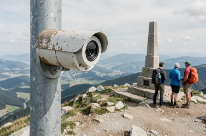
The Markstein–Grand Ballon ski area offers downhill and cross-country skiing. Several webcams cover the area, including the bottom of the beginner slope, the end of the alpine coaster, and the Steinlebach area. These views help you assess the visible snow cover and how busy the ski area appears to be.
For snowshoers and cross-country skiers, the snow visible on camera doesn’t tell you about the quality of the snowpack below the surface or the actual skiing conditions. Snow reports published by the Markstein resort or platforms such as Bergfex provide more detailed information, including total snow depth, the date of the last snowfall, and the number of open runs.
When the webcam becomes a quick decision-making tool
When conditions are uncertain—typically on a cloudy November morning or at the start of an unpredictable spring—the combination of a webcam, a snow report, and a wind forecast can help you decide within minutes. If the image shows a clear summit, the report confirms sufficient snow cover, and forecast winds remain moderate, conditions are right.
Conversely, an image obscured by fog combined with forecast gusts above a comfortable level on the ridges suggests postponing your outing or choosing a more sheltered route through the forest.
Planning your Grand Ballon hike: beyond the screen
The webcam is a convenient starting point for assessing conditions at the summit of the Grand Ballon. It’s genuinely useful, as long as you don’t expect it to show more than it does. A still image shows one place, not an entire route.
Hikers planning an outing on the Vosges ridges should check three sources: the live view for an immediate visual update, weather forecasts for expected conditions, and local information (closures, hunting, road conditions) for access restrictions. This three-part check takes just a few minutes and helps avoid unpleasant surprises once you’re on the trail.